Hurricane Milton has made landfall as a Category 3 storm on the west coast of Florida, the fifth hurricane to make landfall in the United States in 2024, as the Tampa Bay mayor says things are ‘going to be rough.’
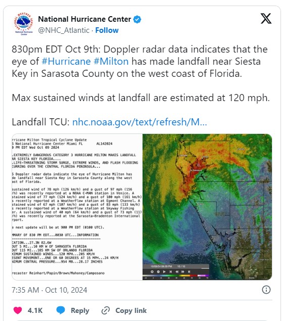
The National Hurricane Center says the storm made landfall at Siesta Key, Florida, a barrier island in the Gulf of Mexico near Sarasota, with maximum sustained winds of 120 miles per hour.
Already, over a million people in the region are without power due to the storm. Tampa Bay Mayor Jane Castor told CNN ‘the next few hours are going to be rough here.’
The storm is bringing rain and high winds at the Tampa Bay on its steady and potentially catastrophic march toward the west coast of Florida, where officials sounded urgent warnings for residents to evacuate or face grim odds of survival.
Apparent tornadoes touched down in the Everglades and Fort Myers. Forecasters warn more could appear across central and southern Florida.
The greatest danger is posed by the wall of water, known as a storm surge, that Milton will whip up. Initially feared to be fifteen feet tall, forecasters now believe the storm surge will be a still record-breaking 12 feet in height.
Hurricane Milton makes landfall on the coast of Florida

Hurricane Milton has made landfall as a Category 3 storm on the west coast of Florida , the fifth hurricane to make landfall in the United States in 2024.
The National Hurricane Center says the storm made landfall at Siesta Key, Florida, a barrier island in the Gulf of Mexico near Sarasota, with maximum sustained winds of 120 miles per hour.
The five storms to make landfall in 2024 are more than the years 2021 through 2023 combined.
Florida already underwater with terrifying footage showing monster storm surge swallowing whole suburbs as Hurricane Milton’s ferocious eyewall nears the coast
Florida is already beginning to flood in at least six inches of rain as Hurricane Milton lands ashore and the storm surge is already 3.7 feet above typically dry ground.
The National Hurricane Center has revealed that the storm is 20 miles southwest of Sarasota.
The National Weather Service has declared a Flash Flood Warning for much of the Tampa area until 10:45 p.m. Already, over three inches of rain have fallen in the past three hours. Hurricane gusts were reported at around 89 miles per hour at the Tampa-St. Petersburg Airport.
The Weather Prediction Service said: ‘An axis of extreme rainfall, stretching from the Tampa metropolitan region northeastward into the north-central Florida Peninsula, is expected to result in major to locally catastrophicflash flooding with considerable threats to life and property.’
They added that some locations could face an inch of water per hour for the coming two to four hours.
It will likely cause ‘rapid rises of water above the surface as water will not have sufficient time to drain, especially across the mostly impervious surfaces of the St. Petersburg into the Tampa metro and possibly nearing Orlando later tonight.’
Weather Channel anchor Jim Cantore could be seen standing in several inches of water in Charlotte Harbor, just 100 miles south of Tampa Bay.
Terrifying footage shows giant waves headed for Florida

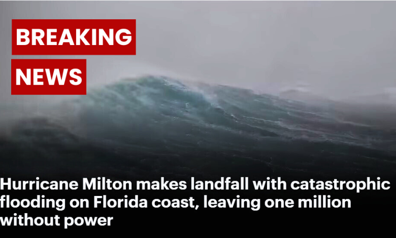
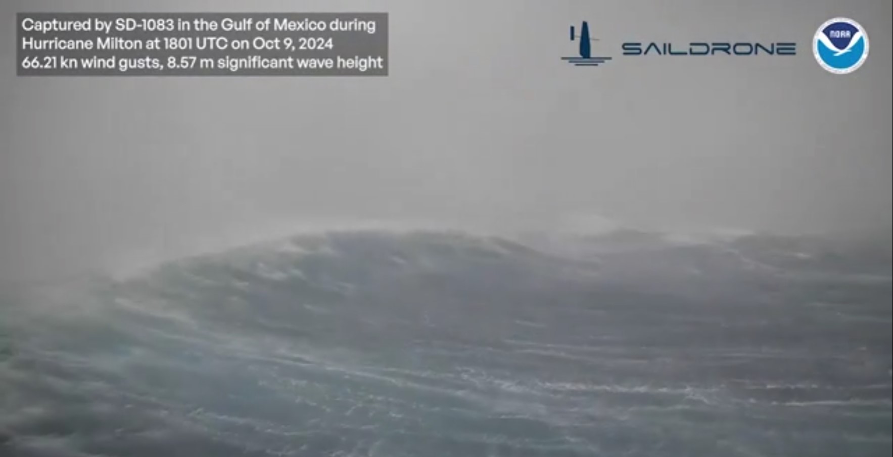
The NOAA posted terrifying drone camera footage showing massive, 28-foot waves caused by Hurricane Milton.
The waves are approximately 28.12 feet – longer than a London bus and four times as tall as Andre the Giant – and feature wind gusts just over 75 miles per hour.
The video is part of a program with the drone-makers, Saildrone, in an ‘effort to better understand and predict devastating events like Hurricane Milton.’
Source: dailymail


